Storms, Heat, and Rough Seas Set to Test South Africans
The South African Weather Service (SAWS) has warned that Thursday, 16 October 2025, will bring an intense mix of weather conditions across the country. Heavy rain and thunderstorms will hit Limpopo and Mpumalanga, while rough seas and strong winds pound the Western Cape coastline. Gauteng, North West, and the Free State continue to bake under hot, dry skies, where veld fires remain a serious risk.
Thank you for reading this post, don't forget to subscribe!ALSO READ: City Power Confirms Two Major Joburg Power Cuts: Bryanston and Region E to Be Affected
Thunderstorms Target Limpopo and Mpumalanga
SAWS raised a yellow level 2 alert for severe thunderstorms in north-eastern Mpumalanga and central and eastern Limpopo. The storms are expected to dump torrential rain, unleash lightning and hail, and drive damaging winds across towns and rural settlements.
Emergency teams are on alert as rivers rise and roads turn slippery. Drivers are urged to slow down, avoid flooded bridges, and take alternative routes if necessary. Many low-lying communities face a high risk of flash flooding, especially near Mbombela, Bushbuckridge, and Lydenburg.
Temperatures will soar in the Limpopo Valley and Lowveld before clouds build and storms erupt later in the afternoon. These storms could continue into the night, disrupting travel and outdoor activity.
Rough Seas Hammer the Western Cape
The Western Cape coast faces turbulent seas and fierce winds. A yellow level 1 warning stretches from Cape Columbine to Plettenberg Bay, where waves exceeding three metres and gusts of up to 60 kilometres per hour threaten smaller boats and fishing vessels.
Mariners are urged to stay ashore until conditions improve. Coastal towns such as Mossel Bay, Knysna, and Plettenberg Bay can expect rain and choppy seas, while inland regions see patchy clouds and brief showers clearing later tonight.
Fire Danger Spreads Across the Interior
While the east braces for rain, central South Africa burns under dry heat. SAWS flagged extreme fire danger in southern Gauteng, eastern Free State, Blouberg in Limpopo, and parts of Mpumalanga and North West.
Farmers and residents have been asked to avoid lighting fires, burning trash, or leaving braais unattended. The combination of dry grass and hot winds can turn a spark into a runaway blaze within minutes. Firefighting teams remain on standby across affected municipalities.
Gauteng Stays Hot and Restless
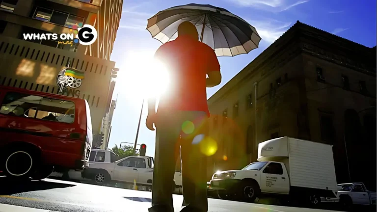
Gauteng wakes to clear skies and warm air, turning partly cloudy and hot by midday. Northern areas like Pretoria, Hammanskraal, and Soshanguve will feel the brunt of the heat, while the UVB index remains high. Locals are urged to apply sunscreen, wear hats, and stay hydrated as the mercury climbs.
Weather Conditions Around the Country
Mpumalanga:
Clouds thicken through the morning, bringing scattered thundershowers in most areas. Mbombela, Secunda, and Ermelo can expect heavy rain by late afternoon.
Limpopo:
Sweltering heat grips the Lowveld and Limpopo Valley. Clouds gather by late afternoon, followed by isolated storms in Polokwane and Mokopane.
North West:
Warm and sunny for most of the day. Thundershowers may move into the north-east near Rustenburg and Zeerust.
Free State:
The province stays fine and warm, with morning fog over Ficksburg and Phuthaditjhaba. Strong winds in the afternoon could fan veld fires.
Northern Cape:
Clear and dry, with dust storms possible in open plains. Temperatures stay mild in Upington and Springbok.
Western Cape:
Rain and cool air blanket the southern coast, while the north-west enjoys sunshine. The UVB index remains extremely high, making sun protection essential.
Eastern Cape (Western half):
Partly cloudy and cool with coastal showers that intensify eastward. Gqeberha and East London will see on-and-off rain throughout the day.
Eastern Cape (Eastern half):
Morning fog gives way to partly cloudy skies. Showers move along the coast, reaching the Wild Coast by evening.
KwaZulu-Natal:
Cloudy and humid, with thundershowers spreading across the province. The north coast between Hluhluwe and Richards Bay will see the heaviest rain.
Stay alert, Stay Seady
With heat, storms, and fire risks colliding across South Africa, SAWS urges residents to stay informed and act fast. Farmers in Limpopo and Mpumalanga should move livestock to higher ground and secure equipment ahead of flooding. Coastal residents in the Western Cape should avoid beaches and harbours until seas calm.
Preparedness saves lives. When lightning strikes, head indoors. When temperatures rise, cool off and drink water. And when you see smoke, report it immediately.
For updates and warnings, follow @SAWeatherService on X and tune into local radio bulletins.
Stay weather-smart, Gauteng and beyond.


