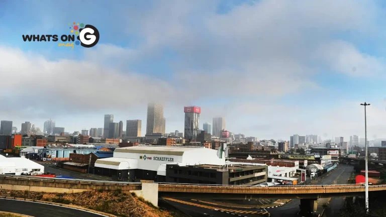
The South African Weather Service (SAWS) has released its forecast for Monday, 15 September 2025, warning of destructive winds, high fire danger, and varying conditions across the provinces. While some regions can expect showers and thundershowers, others will remain hot and dry, increasing the risk of fires and travel disruption.
Thank you for reading this post, don't forget to subscribe!ALSO READ: Joburg Mayor Commits R800 Million to End City’s Water Crisis
Weather Warnings for Monday, 15 September
SAWS has issued a yellow level 1 warning for damaging winds. These gusts could:
- Spark runaway fires in dry areas
- Cause structural damage to informal settlements
- Lead to delays and accidents on roads, especially for trucks and buses, which are vulnerable to strong crosswinds
Along the southern coastline, SAWS raised the alert to a yellow level 2 warning for damaging wind and waves. The affected zone stretches from Cape Point to Cape Agulhas, moving east to Plettenberg Bay by evening. Forecasters warn that navigation at sea will be dangerous and conditions will remain rough into Tuesday.
Fire Danger Warnings
Dry vegetation, gusty winds, and rising heat have pushed the fire risk to extreme levels. Authorities cautioned that even a small spark could escalate into a fast-moving blaze. Areas facing the greatest risk include:
- Dr JS Moroka Local Municipality (Mpumalanga)
- Midvaal Local Municipality (Gauteng)
- South-western North West Province
- Eastern Free State and Eastern Cape
- Eastern parts of the Western Cape
Officials urged residents not to burn rubbish, light open fires, or discard cigarette butts carelessly. Emergency teams remain on standby in vulnerable regions.
Gauteng Forecast
In Gauteng, the weather will remain fine and warm. However, the UVB sunburn index is rated “very high”, which means residents should limit prolonged sun exposure.
Communities in Midvaal face an elevated fire risk. Disaster management teams across the province are prepared to respond to flare-ups at short notice.
Provincial Forecast
Mpumalanga
- Morning fog and mist along the escarpment
- Partly cloudy and warm otherwise, hot in the Lowveld
Limpopo
- Cloudy in the south-east early morning
- Fine and hot for most of the province
North West
- Fine, windy, and warm throughout
Free State
- Fog in the east at dawn
- Windy, fine, and cool to warm conditions during the day
Northern Cape
- Coastal fog early on
- Fine, windy, and warm to hot inland
- Fresh northerly to north-westerly winds along the coast
Western Cape
- Morning fog along the coast and interior
- Cloudy to partly cloudy overall, cool but warm and windy in the Central Karoo
- Light rain in the south-west
- Gale-force winds between Cape Point and Cape Agulhas, extending eastward later
- UVB index: moderate
Eastern Cape (Western Half)
- Fine, hot, and windy
- Coastal winds shift from variable to strong south-westerly, then north-westerly in the evening
Eastern Cape (Eastern Half)
- Fine and warm, hot along the coast
- Northeasterly coastal winds strengthen before turning south-westerly later
KwaZulu-Natal
- Fog patches inland in the morning
- Fine and warm, hot in the north-east
- Coastal winds moderate northerly to north-easterly, freshening by afternoon
Why the Warnings Matter
Destructive winds combined with dry conditions increase the risk of widespread fires, threatening homes, crops, and wildlife. Farmers, coastal communities, and transport operators face the greatest exposure. On highways, crosswinds can cause trucks and buses to overturn, adding to the danger.
SAWS urged residents to take precautions:
- Avoid burning or lighting open fires in high-risk areas
- Secure loose items at home before the winds pick up
- Use sunscreen and protective clothing in Gauteng due to high UVB levels
- Monitor forecasts before travelling, especially along coastal routes
Staying Safe
With hotter weather settling in across the country, the warnings highlight how crucial early preparation is. Staying alert, following official updates, and taking simple steps can prevent small hazards from escalating into a full-blown disaster.


